Anidri Gorge walk
15km 200m ascent. Mostly easy. Some big steps down.
This is the classic walk from Paleochora. Start from the Eastern
side of Paleochora, by the water, follow the road to the southern
end of the pebble beach, then follow the road round one block
inland and turn North, to follow the signs to Anidri
(Ανύδρoι). The road continues North
East following the coast, passing the campsite and disco
(“Paleochora Club”). The road turns inland at a valley,
and forks. Take the left fork past a “dog gate” and
follow the paved road into the gorge. This winds inland,
ascending to the village of Anidri. Here the schoolhouse is now a
cafenion, with great views south.
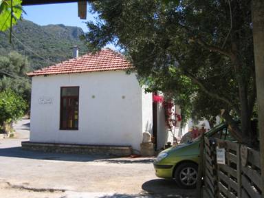
Figure 1: The schoolhouse cafenion, Anidri
From the South-West corner of the schoolhouse, signs point to
the Agios Georgios [Αγιος
Γεοργιος] church and beach.
You pass by the church (open) with frescoes painted in 1323 by John
the Frozen [Ιοαννις
Παγομενος].
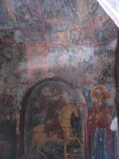
Figure 2: Fresco in the Anidri church.
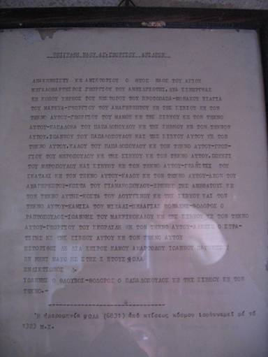
Figure 3: Notice describing frescoes
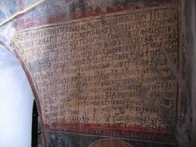
Figure 4: Fresco with writing
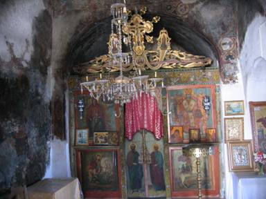
Figure 5: Iconostasis of the Anidri church
The footpath descends south and joins a track which passes a
turn that can take you to the chapel on the hill SW of Anidri. Then
a clear path descends into the gorge, where it is often marked with
cairns, and mostly follows a black water pipe. A few big steps
require the use of hands and possibly sitting down.
Eventually the gorge opens out and you reach a fork. Dirt tracks
lead straight ahead and left to beaches (kiosks for drinks?) and
another leads right (West) just above the shore, back to
Paleochora, joining the paved road at the fork.
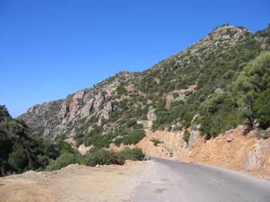
Figure 6: Access to the scramble
Another route that starts out the same involves some serious
scrambling.
9km 250m ascent.
Follow the same route, past the fork, and into the gorge leading
up to Anidri. Shortly before the road crosses the river bed, take a
short dirt track back up to the left to a large concrete water
cistern. Go across the top of this and follow steeply up to the
left, with some scrambling/climbing, then follow goat trails to the
ridge. A stone shelter caps the summit. On the West side of the
ridge, a track follows the ridge. Taking it south leads to beehives
and the rock-capped shoulder overlooking Paleochora. Instead follow
the track to the right, which then leads 2km further north to join
up with the Azogires road. Turn left onto this road and after 1km
it joins the main Paleochora-Hania road at a sign
(“Paleochora 3km”). Follow this back into town.
All pages and photographs copyright © Andrew Senior 2005
Not to be reproduced or published without permission.